
Artabuynk Village
A lived-in mountain village where one road becomes two memorable heritage trails


Artabuynk village is one of those Vayots Dzor places where settlement and trail are impossible to separate. The long shoulder of Mount Smbatasar rises above the houses, while basalt walls already announce Smbataberd in the distance. Come not only to reach a fortress, but to notice how ravines, pasture and old paths have shaped everyday life in this mountain community.
First choice: the shorter climb
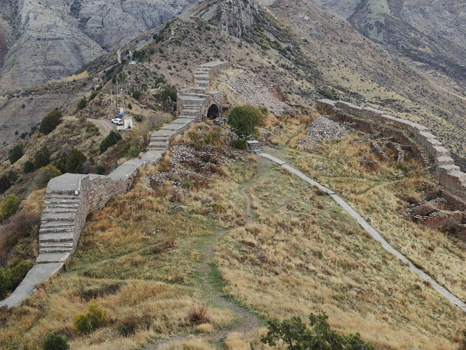
With half a day, follow the Smbataberd route. The fortress stands east of the village on a ridge around 2,000 metres high. The ascent crosses exposed ground with little shade, and wind can strengthen on the final section. Carry at least 1.5 litres of water per person, sun protection and shoes with firm tread. Keep away from wall edges in fog or wet weather.
Second choice: the long heritage line
For a full day, Artabuynk can become the opening of a route toward Tsaghats Kar Monastery and Yeghegis. This is not a casual stroll: elevation changes, open slopes and several junctions call for an offline map or local guide. Check the route concept and difficulty in the HIKEArmenia trail description.
Do not reduce the village to a car park
Artabuynk is a lived-in settlement. Park without blocking gates or farm tracks, and ask before photographing residents or yards. Buy water and food before arrival, and arrange your return vehicle in advance because mobile coverage can weaken in the mountains. Spring brings mud, summer brings strong sun, and the early dusk after October changes the safe timetable. After the hike, continue to the Yeghegis Jewish Cemetery, Shatin viewpoint or Hermon village. Local notices are also published on the Yeghegis Municipality website.
Frequently asked questions
Book a private transfer
Add this stop to your trip, see the full route on the map, and compare offers from local drivers.