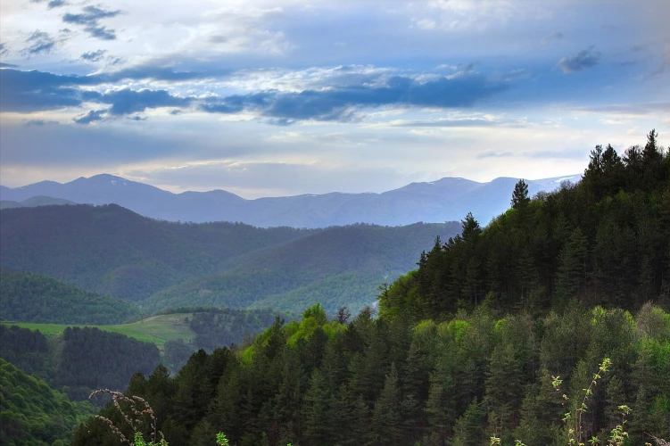

Dilijan National Park
A protected forest with separate lake, monastery and hiking routes


Dilijan National Park is a large protected landscape of forested mountains, river valleys, lakes and historic monuments in Tavush. It has no single entrance or central recreation zone: Lake Parz, the Gosh area, Haghartsin and the marked trails around Dilijan lie in different parts of the park. The territory was protected as a state reserve in 1958 and received national-park status in 2002. According to Armenia’s official management plan, the park covers 33,765 hectares, mainly in Tavush, with smaller sections in Lori and Gegharkunik.
Choose a route before making a list of sights
With only a few hours, select one short walk or Lake Parz. A half-day plan can combine a walk from Gosh village to Gosh Lake with Goshavank. Long ridge routes are for experienced hikers and need separate preparation. Do not try to fit two lakes, several monasteries and a long trail into one day: transfers between the trailheads take more time than the map suggests.
Mobile coverage is not a substitute for a saved map
Dirt roads inside the park branch into old forestry tracks, village roads and marked hiking trails. Download the selected route and follow its exact line. The Transcaucasian Trail describes a specific 79.3 km Transcaucasian Trail section planned for 4–5 days, as well as its individual stages, with maps and detailed trail notes. If a junction is unclear, return to the last marker instead of assuming the widest road is correct.
Forest conditions may differ from the weather in town
After rain, clay soil, exposed roots and wet leaves become slippery. Trees provide summer shade, but you still need enough water. Autumn brings shorter daylight, while ice can remain on shaded winter sections. Wear closed footwear with reliable grip, carry a light waterproof layer and keep at least one hour in reserve for the return. Shorten the route if fog or heavy rain reduces visibility.
This is a protected forest, not unrestricted picnic land
Use existing trails and take all waste out. Fire, plant collection and access restrictions differ by the park’s functional zone, so follow posted signs and staff instructions. Do not approach wildlife for photographs, and avoid loud music. Management documents are available through Armenia’s Ministry of Environment.
Which monastery fits a forest day?
Haghartsin suits visitors who want road access and a short forest walk. Matosavank and Jukhtakvank fit better into a hiking day. Check trail conditions before departure and use Dilijan as the base for water, food and return transport. This keeps the day focused instead of turning it into a rush between distant points.
Frequently asked questions
Book a private transfer
Add this stop to your trip, see the full route on the map, and compare offers from local drivers.